
Geospatial site finding services
Our site finding toolset allows our users to conduct national or localised searches utilising the power of webGIS.
We work with you to understand the requirements of the project, its size, location and resource, and apply a multi-criteria analysis that easily searches our database to show potential site locations that meet your specifications.
We have a vast experience in delivering complex site finding projects in different sectors such as:
- Energy sector: electrical vehicle charging sites, wind and solar farms, energy crops
- Infrastructure sector: depot sites, rail operational sites
- Residential sector: housing sites for over 100 dwellings, traveller sites
- Commercial sector: open storage sites, crematoriums, offices, data centres
Site finding made simple through our site appraisal tool
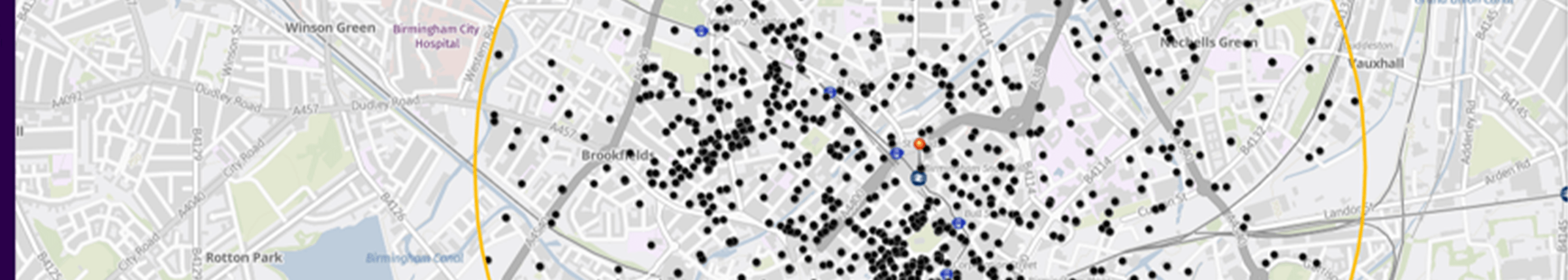
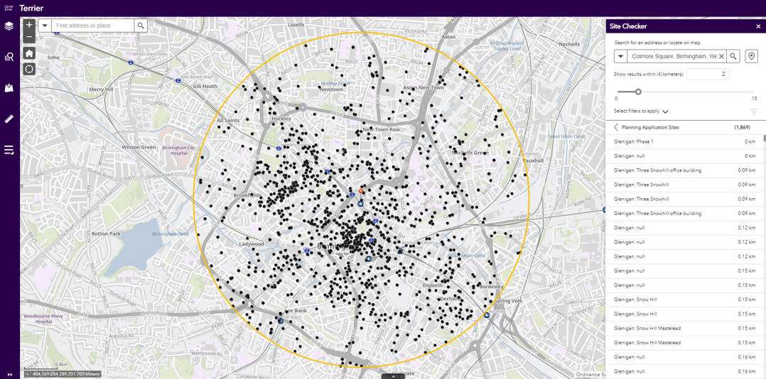
Individual site searching is as simple as dropping a pin. Through our Site Appraisal Tool, users can screen the resulted list of potential sites from a list of environmental constraints and within a defined radius. Any intersecting datasets are displayed in the tool’s results panel, allowing you to view the information about the individual constraint, including:
- Flood zones
- Land registry ownership information
- Census and ONS datasets
- District network operation information
- Planning application information
Final sites that meet your requirements can be shared as a map portfolio, a digital GIS file or a Web Map Service.
Collaborate with others during the site finding process
Secure logins allow multiple users to interact with the selected sites and allow you to record site specific information such as progress of planning, communication with landowners, development phase etc.As a project develops, we can add project dashboards to show project progression quickly and easily, track project cost or to access site reports.
For more information, contact:
Simon Nigh, Head of Geospatial & Mapping
simon.nigh@carterjonas.co.uk | 07920 207297
Alex Spinu, GIS Manager
alexandru.spinu@carterjonas.co.uk | 07765 352978


Keep informed
Sign up to our newsletter to receive further information and news tailored to you.